
- The Camel Caravans were known as the ‘fleets of the desert’ and could number thousands of camels.
- Strabo (c.64BCE-c.24CE) wrote that they were organised like an army.
Organisation
- Size
- The caravan could involve hundreds, sometimes thousands, of camels. A 10,000 camel caravan would extend up to 28 miles in length and usually moved in a long thin line astern.
- Leaders
- Every caravan had a leader who knew the route and the stopping places.
- Groups
- The caravan was divided into groups of 5 to 12 camels, tied together, under the charge of one camel driver.
- The camels
- They were rested and fattened for two months prior to their great trek.
- Speed
- The caravan’s speed was limited by the speed of the men leading each line, who walked at around 3 miles per hour (5 kph). This gave a day’s range of about 15-25 miles per day, travelling for around 11-13 hours.
- Oases
- Oases, forts or cities were placed at 15 to 25 mile (25-40km) intervals for the caravans to be fed, watered and rested.
- Time of travel
- Camel caravans moved either by day, setting off before dawn, or by night, setting off in the late afternoon and using the moonlight, with travel lasting around 12 hours.
- Navigation
- Navigation was done by a guide, who used their knowledge of the desert landmarks. They also used the direction of the prevailing winds, and the positions of the Sun by day and the Stars by night, particularly the Pole Star.
- Weather
- Bad weather such as sandstorms, might halt a caravan for days.
- The Dunes
- When travelling the great sand dunes, the camels would have to climb the up the slope then stagger down the other side. Where possible, it was easier to walk along the ridge of the dune.
- Number of Trips
- Depending on the distances involved, the Caravan could achieve one round trip per year.
The Routes
King's Highway
- The Camel was used in Camel Caravans along the King's Highway between the Euphrates in Mesopotamia and Egypt.
- The Caravans stopped at the Oasis of Palmyra. In 14 CE Palmyra was conquered by the Romans and became part of the Province of Syria.
- Resafa
- on the Euphrates, also known as Sergiopolis or Anastasiopolis.
- Palmyra, Syria.
- Damascus, Syria.
- Bostra, Arabia Petraea.
- Rabba, Arabia Petraea.
- Petra, Arabia Petraea.
- Aqaba, Arabia Petraea.
- Nekhl Fort, Egypt
- Mitla Pass, Egypt.
- Clysma, (Suez), Egypt.
- Heliopolis, Egypt.
- Resafa
Via Maris
- The Via Maris, meaning ‘Way of the Sea’, ran round the coast from Egypt to Syria, across Judaea using the Megiddo Pass.
- It formed part of the coastal Roman Road that ran around the eastern Mediterranean.
Incense Road
- Camel Caravans travelled along the Incense Road from Yemen to the Levant Coast. Each stage was about 20 to 25 miles (30-40km) in length, and each resting place was either a city or an oasis.
- The Route ran parallel to the Red Sea coast, 100 miles (160km) inland, with the possible exception of Jeddah:
- Shabwa (Capital of Hadhramaut)
- Timna (Capital of Qataban), Yemen (The start).
- Marib, the capital of the Sabaean Kingdom
- Najran oasis, Yemen
- Jeddah (possibly)
- Yathrib (Medina)
- Dedan, (Al Khuraybah)
- Hegra (Mada’in Saleh) Al-‘Ula oasis
- From Hegra a route led to Taym, Duma to northern Mesopotamia.
- Aramava, probably the oasis of Wadi Rum, next to the Wadi Rum Desert.
- Petra
- Gaza on the Mediterranean Sea. (The end)
The Nile to the Red Sea
- Camel Caravans travelled from the Nile to the Red Sea.
- Coptos to Myos Hormos Roman Road
- Coptos
- Wadi Hammamat
- A dry river bed running halfway along the route.
- Myos Hormos
- Coptos to Berenice Roman Road.
- Hydreumata
- A series of Cisterns fed by a Well and sometimes fortified.
- Praesidia
- A square fortlet with round towers at each corner and two defensive towers either side of the entry gate. They were of varying sizes.
- Hydreumata
- Coptos to Myos Hormos Roman Road
The Sahara Routes
- The main routes went from the Sahel African Kingdoms to Morocco, Carthage, Leptis Magna and Egypt.
- ‘The Way of the Forty’
- Darb el-Arba Caravan Route meaning ‘the Way of the Forty’, took 40 days from Kobbei in Darfur, Sudan.
- It bypassed the swamps of the Sudd which made the Nile impassable.
- The Romans built a chain of mud brick Forts to protect the Route. It was in continuous operation until the 20th century CE.
- Kobbei
- Kharga Oasis
- Wadi Howar in the Libyan Desert and on into:
- Egypt.
- Tripoli to Lake Chad
- This route operated during the Roman Period and until the 20th century CE.
- Tripoli in Libya
- via Murzuk
- Lake Chad in southeastern Chad.
- This route operated during the Roman Period and until the 20th century CE.
- Timbuctu to Morocco and Algeria
- A Medieval Salt Road from Timbuctu, Mali, which ran across the Sahara to Morocco and Algeria via Tuat, until the 1950’s. Thousands of Camels were deployed in the caravan.
- Morocco and Algeria
- Tuat
- Timbuctu, Mali
- A Medieval Salt Road from Timbuctu, Mali, which ran across the Sahara to Morocco and Algeria via Tuat, until the 1950’s. Thousands of Camels were deployed in the caravan.
- Benghazi to Wadir
- A Medieval route which ran from Benghasi in Libya, via Kufra to Wadai in southwestern Chad and operated until the 20th century CE.
- Benghasi, Libya
- Kufra
- Wadai, Chad
- A Medieval route which ran from Benghasi in Libya, via Kufra to Wadai in southwestern Chad and operated until the 20th century CE.
- Cirta to the Niger and Chad
- Cirta (Constantine)
- Lambaesis
- A Roman Legionary Fort which guarded the Passes through the Aures Mountains.
- Its retired legionaries lived in nearby Timgad.
- Touggourt
- An oasis that lies on the northern edge of the Erg. It has extensive oases fed by underground rivers where date palm forests grow.
- El Oued
- The road branched east to the oasis at El Oued and the port of Gabes (Tacapae).
- Ouargla (Wargla)
- An oasis in the Erg.
- Hassi Messaoud
- Another oasis in the Erg, 53 miles or 85km southeast of Ouargla, where a road branched east to the oases of:
- Borj El khadra
- Located in Tunisia on the eastern edge of the Erg, then on to the port of Gabes (Tacapae) also in Tunisia.
- Ghadames
- Erg of Bilma
- This sand sea lies in Niger and the caravans passed through a chain of ten oases running along the Kaouar cliffs. The last oasis before reaching the Sahel is the Bilma oasis.
- Sahel African Kingdoms
- Tunis to Kano
- A Medieval route which ran from Tunis via Ghat, and the Mountains of Air, to Kano in Nigeria, and operated until the 20th century CE.
- Tunis
- Ghat
- Mountains of Air
- Kano, Nigeria
- A Medieval route which ran from Tunis via Ghat, and the Mountains of Air, to Kano in Nigeria, and operated until the 20th century CE.
The Silk Road
- The Silk Road used Camel Caravans departing from Luoyang in China and arriving in Ctesiphon in Persia.
- These trips averaged 6-8 months, with caravans returning the following year, after the animals had been rested and fattened.
- The Route was as follows:
- Luoyang
- Gobi Desert
- Taklamakan Desert
- Wakhan Corridor
- Ctesiphon (Persia)
- Barygaza (India)
Kharga Oasis
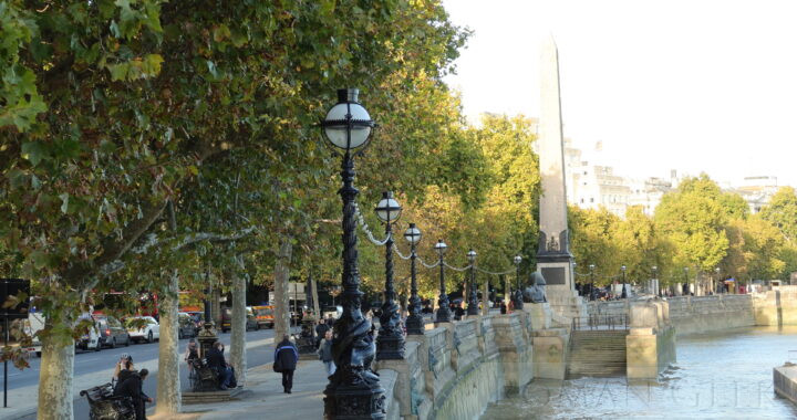
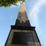 Move to London