Port of Algeciras

Algeciras

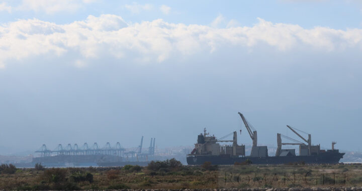
  • Algeciras is a Port city near Gibraltar in the Andalucia Province of southern Spain. It is one of the largest Ports in Europe.
  • It was the Roman town of Portus Albus located in the Province of Baetica. Portus Albus was one of a cluster of three adjacent Roman ports, the others being Julia Traducta and Caetaria, which had a fish salting factory.

Strait of Gibraltar

  • Algeciras gives on to the Strait of Gibraltar, which is the sea between Gibraltar and Morocco, and the Atlantic and the Mediterranean.
  • The distance at the narrowest point is 8.1 miles (13km) and the winds blow predominately from the east (the Levante) or the west (the Poniente).

Pillars of Hercules

Carteia

  • Nearby are the ruins of the Roman town of Carteia are located between the town of San Roque and Gibraltar.
  • Strabo wrote that it was founded by the Phoenicians in 940 BCE.
  • In 190 BCE Carteia finally fell to the Romans and it became a Roman naval base from 67 BCE onwards.
  • The site holds the Ruins of Roman Temples, Kilns and a Forum


Algeciras

Cadastral Roman Map

  • A Cadastral Map was a map of land, used as the basis for Roman Taxation.
  • The Cadaster of Orange is etched on Marble showing the towns of Orange, Nimes and Montelimar.

Museum of Art and History of Orange

  • The Museum contains  the Cadaster of Orange which is the largest Cadastral Roman Map ever found.


Museum of Art and History of Orange

Charybdis

The Myth in Homer‘s Odyssey (Book XII)

  • Charybdis was traditionally located in the Strait of Messina, between Sicily and Italy.
  • Charybdis could engulf an entire vessel and was a menace to Greek shipping.
  • Opposite her was another Sea Monster with six heads called Scylla. Each head would swallow one sailor.
  • In the Odyssey written by Homer, Odysseus is advised by Circe to sail closer to Scylla than to Charybdis, as it would be better to lose a few men than to lose the whole vessel.


Strait of Messina

Jura

  • The Jura Mountains are a range of mountains in France next to the Alps. The highest peak is Cret de la Neige with an elevation of 5,640 ft (1,720m).
  • The Jura were first mentioned by Julius Caesar in Book I of De Bello Gallico.


Cret de la Neige, Lelex


Arch of Constantine, Rome

Arch of Constantine

Getting There

  • Location: Via di San Gregorio, Rome.
  • Nearest Metro Station: Colosseo, Line B.

Arches of Ancient Rome

  • It is one of the three surviving Arches of Ancient Rome.

Influence

  • Marble Arch in London is a 19th century copy located in Hyde Park. It was designed by John Nash, who built it in white Carrara marble and completed it in 1833.


Photo and map: Arch of Constantine

Bayonne Castle

Bayonne

  • Bayonne is a sea and river port located on the confluence of the Rivers Nive and Adour in the Nouvelle Aquitaine Region of Southwestern France.
  • During the Roman Period it was a walled city, possibly named Baiona or Lapurdum, in the Province of Gallia Aquitania, with a 4th century CE fort to guard the river crossing.

The Roman Sites

  • Bayonne Old Castle.
    • Three Roman Towers and the Roman city wall were incorporated into the Medieval Castle, which is on the site of a Roman Castrum.
  • Bayonne City Walls
    • The medieval Wall running down Rue Augustine, is built over the Roman Wall, with the medieval towers also built over the location of the Roman towers.
    • The outer walls surrounding the city date from the medieval period.
  • Rue D’Espagne
    • This road runs along the line of the Roman Cardo Maximus, the main north-south road in every Roman town.

Museums

  • Bayonne Basque Museum
    •  Located at 37 Quai des Corsaires, 64100 Bayonne.
    • This is a Museum and Library of the Basque People and Culture in France.

Roman Roads


Bayonne Castle

Baths of Diocletian, Rome

Baths of Diocletian

  • The Baths of Diocletian were the largest of all the Public Baths in Rome and could hold up to 3,000 people.
  • Known as Thermae, the Baths were built between 298-306 CE and dedicated by Diocletian in 306 CE. The Baths probably contained a Roman Library.

Getting There

  • Location: Viale Enrico de Nicola, 78, Rome.
  • Nearest Metro Station: Repubblica, Termini, Line A.

The Site today

  • The Baths are now incorporated into three buildings:
    • The Basilica of Santa Maria degli Angeli e dei Martiri (the Frigidarium).
    • The Church of San Bernardo alle Terme.
    • National Roman Museum


Photo and map: Baths of Diocletian, Rome

Baths of Caracalla, Rome

Baths of Caracalla

  • The Baths of Caracalla were Roman Baths completed by the Emperor Caracalla between 212-216 CE. They are located on the Viale delle Terme di Caracalla, Rome.
  • The Baths were the second largest Baths in Rome after the Baths of Diocletian. Olympiadorus of Thebes stated that the Baths could accommodate 1,600 people.

Description

The Site Today

  • The Site has been partially restored and visitors can tour the tunnels underneath the structure.

Roman Copies

Modern Copies

  • Grand Central Terminal, New York City (Built 1903-13)
    • Built by the New York Central Railroad, USA.
  • Pennsylvania Station in New York City (1910-demolished in 1963)
    • Built by the Pennsylvania Railroad, USA.
  • St. George’s Hall
    • Music Hall in Liverpool, England.


Photo and map: Baths of Caracalla, Rome

Battle of the Margus

The Reason for the Battle

  • After the sack of Ctesiphon in 283 CE, Carus had died of natural causes, leaving his two sons, Carinus and Numidian as co-emperors.
  • The returning Roman army stopped at Chalcedon where Numerian was found dead.
  • Diocletian then claimed Numerian‘s death had been an assassination, and his legions proclaimed him Emperor instead of Carinus.

The Battle

  • Carinus immediately set off to challenge Diocletian and the two armies met in Moesia at the river Margus, near Naissus, modern Nis in Serbia.
  • Despite Carinus‘ army appearing to gain the upper hand, Carinus was assassinated by his own Tribune, leaving Diocletian as undisputed Emperor.

The Outcome


Naissus, Nis, Serbia

Vichy

  • Vichy is a Spa town located on the River Allier in the Auvergne-Rhone-Alpes Region of central France.
  • During the Gallo-Roman Period it was known as Aquae Calidae or Vicus Calidus (town of hot waters) in the Province of Gallia Aquitania.

A Roman Spa Town

  • The hot waters were famed for their medicinal qualities.
  • Two hot springs today still retain their Roman construction.

Roman Sites

  • Source thermale de l’Hopital
    • This is a 34°C hot spring which rises in the original Gallo-Roman bath.
  • Hall des Sources
    • This has the ‘Source thermal Chomel’ which is a 43°C hot spring that rises in a Gallo-Roman concrete well.

Nearby Sites

  • Paleopolis Paleontology Park
    • Paleopolis is a Dinosaur Museum located in Ganat, 15 miles (24km) southwest of Vichy.

Roman Roads

  • Not known.


Vichy