The Rollright Stones: A complex of Megalithic Stones in the Cotswolds
Overview
The Rollright Stones are a group of Neolithic and Bronze Age Monuments dated to between the 4th – 2nd millenium BCE. They are located at the village of Little Rollright, 23 miles (37km) north of Oxford, and are divided by the A436 road with some stones in the county of Oxfordshire, others in the county of Warwickshire.
Description
The Monument consists of three groups of Stones: the King’s Stone near the peak of the ridge. On the opposite side of the road lies a stone circle known as the Kings Men Stone Circle. A short walk down the hill lies a Dolmen known as the Whispering Knights Dolmen. The stones are made from natural boulders made of Jurassic oolitic limestone, the main rock forming the Cotswold hills. They were probable collected from within half a mile (1km) of their current position.
WWII and the Cold War
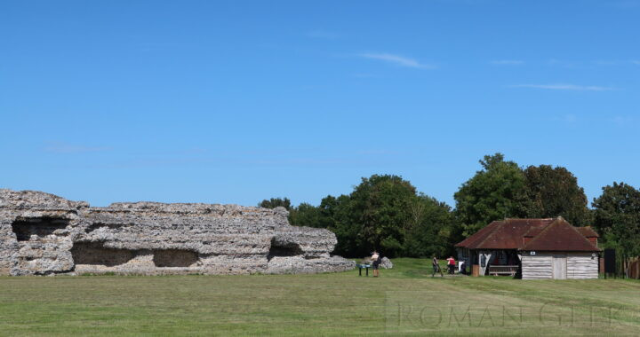
Because of the stones are located on the crest of the Cotswolds, the location gives excellent views in all directions. During WWII a Royal Signals Corps hut with a telephone was set up to watch for enemy aircraft. Its usefulness continued into the Cold War, when it was turned into an early warning post with an underground bunker. It was decommissioned in 1992. For those interested in astronomy, the site has a Dark Sky Discovery Site status which protects it from intrusive light pollution.
The King Stone
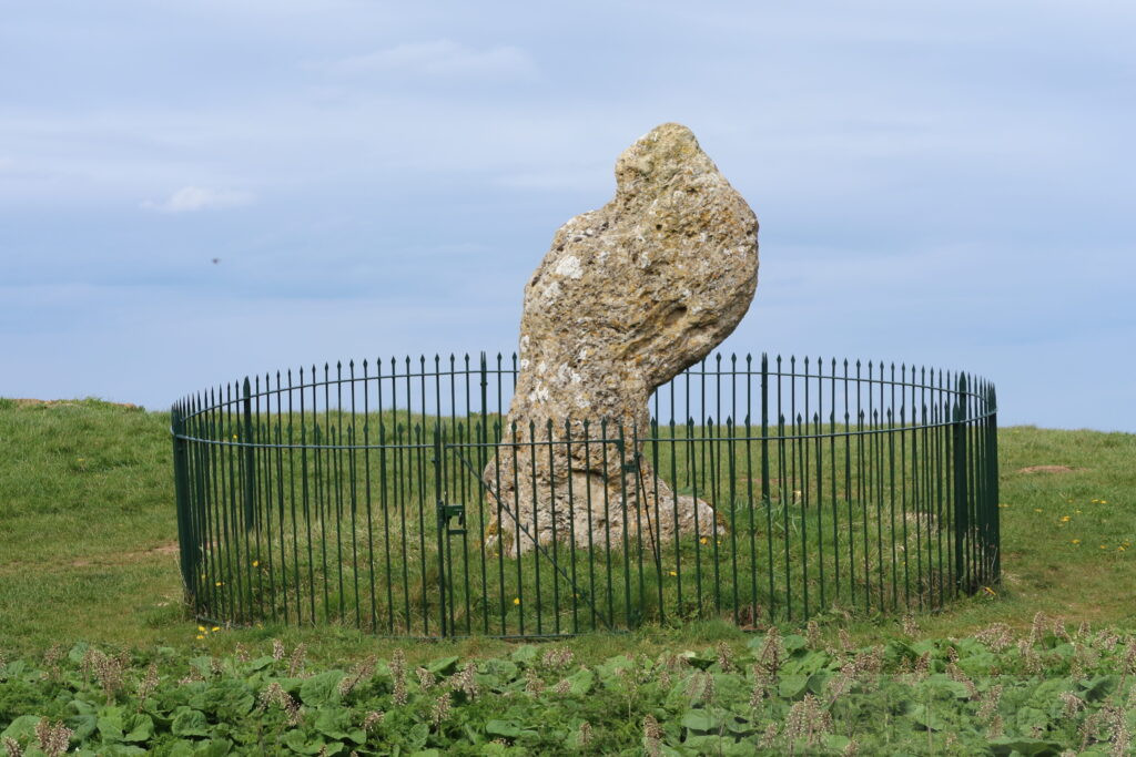
King Stone, Rollright Stones, Warwickshire
Description: This distinctively shaped stone is dated to the Middle Bronze Age, circa 1500 BCE. There is no consensus amongst archeologists as to its purpose, there is no long barrow nearby and it doesn’t appear to be astronomically aligned with a significant star. The railings were erected in 1894, for both the King Stone and the Whispering Knights.
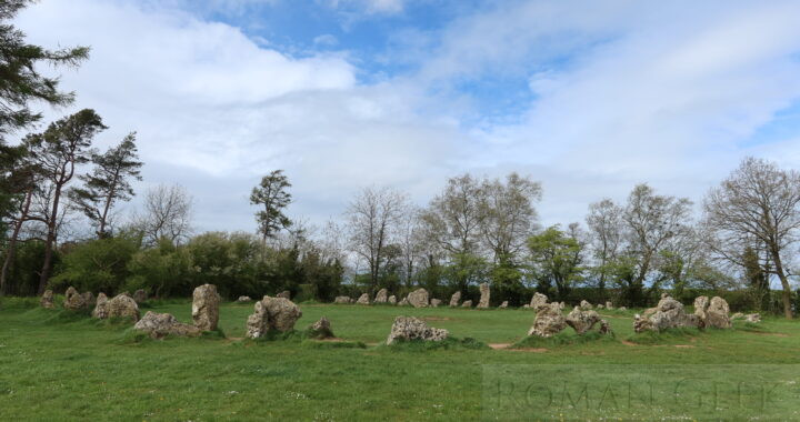
The Kings Men Stone Circle
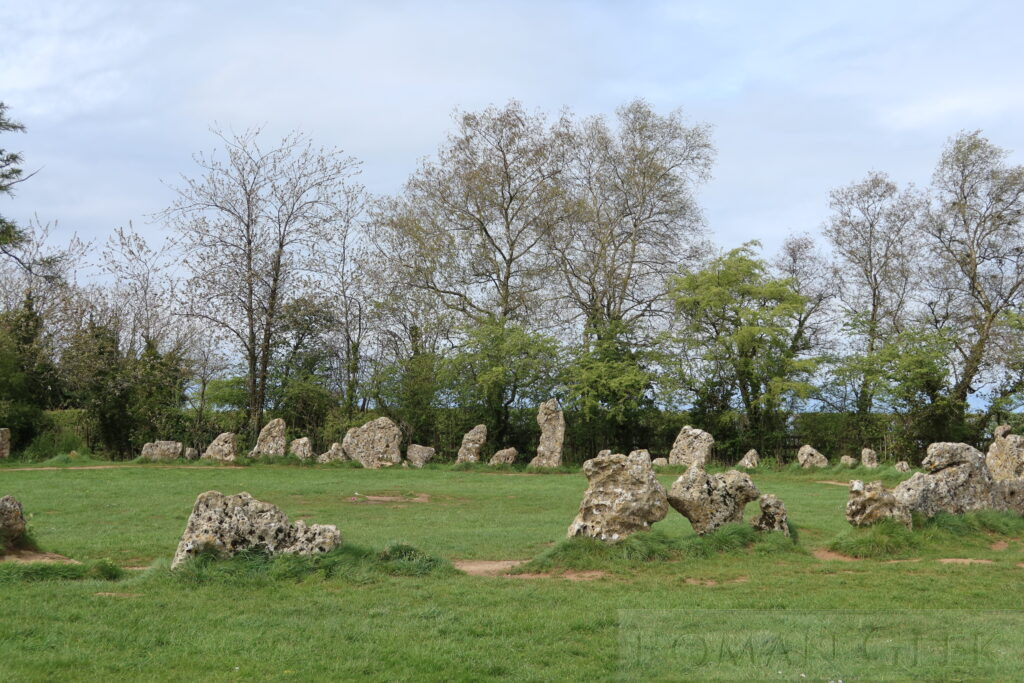
The King’s Men, Rollright Stones, Oxfordshire
Description: The King’s Men stone circle dates to late Neolithic, circa 2,500 BCE. They are famously considered to be uncountable, however there are currently about 70 stones, down from circa 105 when the monument was constructed. The Antiquarian William Stukeley (1687-1765) who pioneered the investigation of Stonehenge, wrote that the stones were ‘corroded like worm eaten wood, by the harsh Jaws of Time’.
Historical Insight: The design, close-set stones, a portalled entrance and a levelled interior, hold very close similarities to stone circles of the Lake District, notably, Castlerigg near Keswick, Long Meg and her Daughters near Penrith and Swinside north of Ulverston.
The Whispering Knights Dolmen
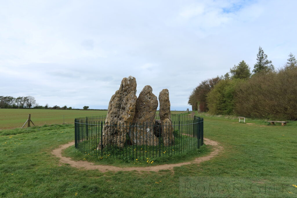
The Whispering Knights, Rollright Stones, Oxfordshire
Description: The oldest stones, the Whispering Knights dolmen, are dated to the early Neolithic Period, circa 3,800-3,500 BCE and predate the Kings Men stone circle by 1,000 years. Located further away down the hillside, the Whispering Knights is a ‘portal dolmen’ burial chamber consisting of four upright stones supporting a large now fallen capstone. It is one of the earliest funerary monuments in Britain and would have contained the remains of several individuals. The railings were erected in 1894.
In Folklore
In 1610, the Antiquarian William Camden (1551-1623) recorded a rhyming version of the folktale associated with the stones. A king riding across the county with his army was accosted by a local witch named Mother Shipton who told him:
- Seven long strides thou shalt take, says she
- And if Long Compton thou canst see,
- King of England thou shalt be!
The knights sat around in a circle to consider this challenge, and eventually the king took seven steps forward. However, rising ground blocked his view of Long Compton and the witch crowed:
- As Long Compton thou canst not see, King of England thou shalt not be!
- Rise up and stand still like stone, For King of England thou shalt be none;
- Thou and thy men hoar stones shall be, And I myself an elder tree!
The king became the solitary King Stone, his soldiers the Kings Men Stone Circle, and four of the knights whom she heard plotting against the king, were turned into the Whispering Knights Dolmen.
Nearby Attractions
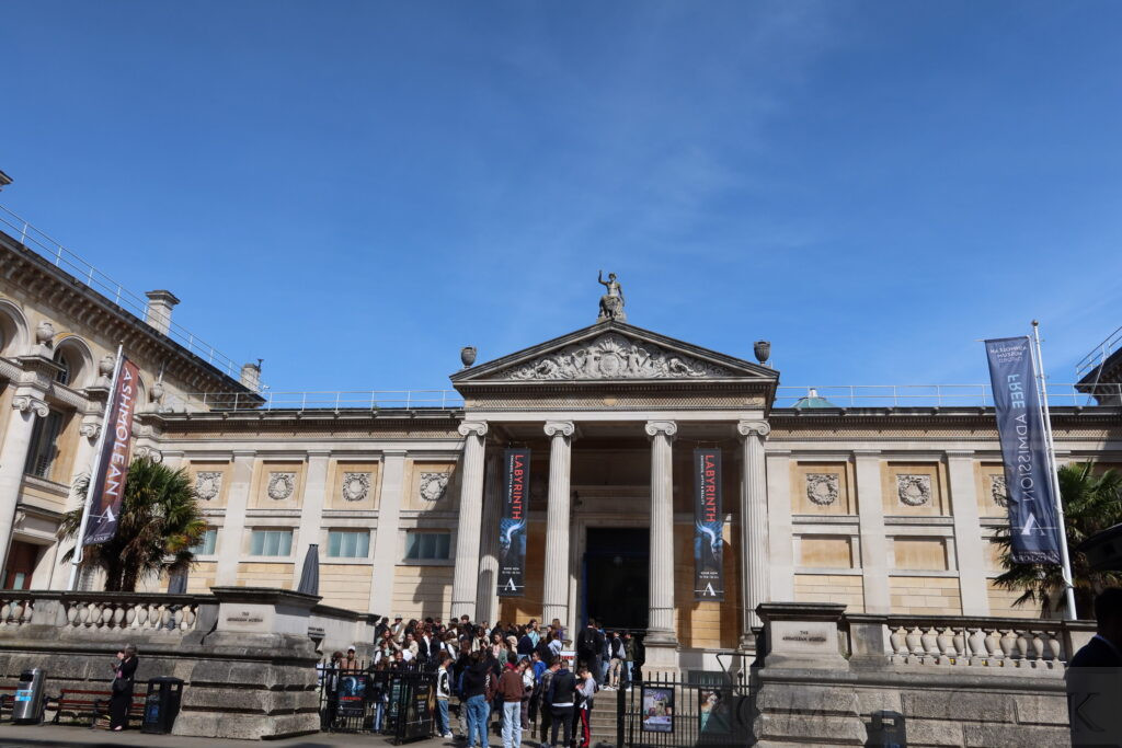
Ashmolean Museum, Oxford
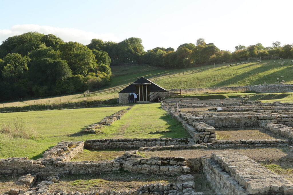
North Leigh Roman Villa
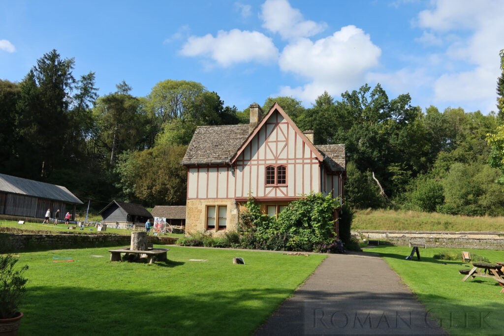
Chedworth Roman Villa